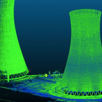
Bathymetry is the study of underwater depth and a sonar is used to produce a 3D map of a submerged element. Can-Explore combines know-how and state-of-the-art equipment to conduct high-accuracy bathymetric surveys.
State-of-the art equipment
Reliable and accurate surveys
Identification of deficiencies
A Key Step
For Can-Explore, this method is a first key step in investigating a submerged structure. The information collected enables the team to focus on areas of interest where more detailed inspection must be done. The 3D model helps, among other things, identify the following types of defects:
- Scouring under wharfs;
- Major structural deformation;
- Large holes or anomalies.

Any questions? A specific project in mind?
Don’t hesitate to contact us. Our solutions are tailored to your needs.


