

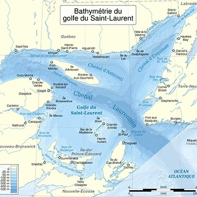
Bathymetry is a method used to measure the depth of oceans, lakes, rivers, or other bodies of water with specialized equipment such as sonar, to map underwater topography.
For our clients in the industrial and mining sectors, bathymetric surveys are essential for ensuring operational safety by identifying underwater obstacles and assessing the stability of structures. Ultimately, bathymetry optimizes processes by providing accurate data for the implementation of other underwater infrastructures.
Bathymetry for Your Sector:
Industrial/Mining
A key step
For Can-Explore, bathymetry is a key first step in the investigation of submerged structures. The data provided helps to target areas of interest where further detailed inspection should be conducted. The 3D model produced allows for the identification of the following types of defects:
- Scouring beneath docks;
- Major structural deformation;
- Large holes or dimensional anomalies.
Applications of Bathymetry:
Mapping the underwater topography is useful for multiple applications. In the industrial and mining sectors, bathymetry helps to:
Optimize the implementation and management of infrastructure
Such as industrial water pipelines, intake structures, outfalls, etc.;
Evaluate siltation and sediment management
Our experts ensure the proper functioning and durability of retention basins, reservoirs, port infrastructure, etc.;
Design and maintain port and industrial infrastructure
We provide bathymetric surveys for docks, terminals, navigation channels, and more;
Ensure the navigability of access routes
We optimize maritime routes for mining and industrial facilities;
Anticipate environmental risks
We assess the impact of storms, coastal erosion, and rising water levels on industrial and mining infrastructure located in coastal or waterfront areas;
Plan the development of riparian and coastal areas
We integrate bathymetric survey data for flood risk management and the design of appropriate prevention structures.
Why choose our bathymetric services?
Sector Expertise and Tailored Solutions
In-depth knowledge of industrial and mining challenges ensures customized solutions.
Cost and Time Optimization
Fast, clear, and immediately usable surveys for effective project management.
3D Visual Representation
Can-Explore offers bathymetric surveys in the form of 3D visual representations, making data interpretation easier and providing a detailed and intuitive view of the underwater environment.
Additional Documentation
To learn more about bathymetry, refer to the Bathymetric Survey Standardization Guide (french) from the Quebec Ministry of Natural Resources and Wildlife.
Request a quote: bathymetry service
Any questions? A specific project in mind?
Don’t hesitate to contact us. Our solutions are tailored to your needs.