At the heart of Can-Explore, a company renowned for its innovative inspection solutions, lies a department that has experienced remarkable growth in recent years: the surveying and geomatics department. The…
read moreCan-Explore is proud to announce a strategic partnership with Jakarto, a leader in 3D mapping and geospatial data management. This partnership heralds a significant transformation in the collection, certification, and…
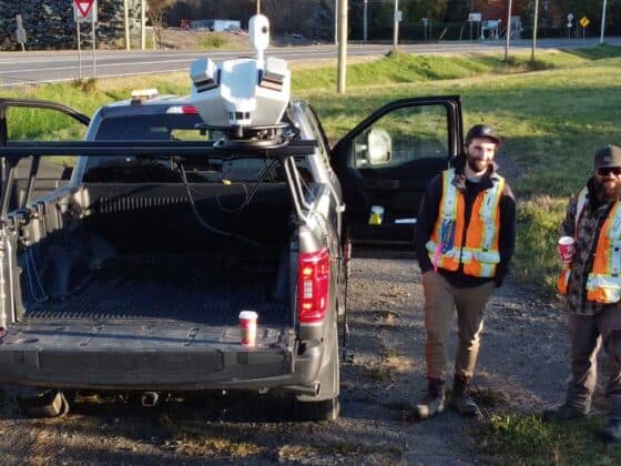
read moreImage: courtesy of Leica Geosystems. Mobile mapping goes beyond simple geospatial data acquisition. It’s a technological advancement that allows for precise and detailed surveys while traveling in a vehicle moving…
read moreTom Tardif, Geomatics Director, and Samuel Des Cormiers, Land Surveyor, at Can-Explore’s Head Office in Quebec City. Land Surveyors: You’ve probably heard of them, but do you know what they…
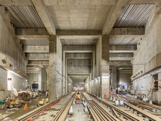
read moreSTM Côte-Vertu GarageQuality control - Railway installation, structural works and civil works As part of the STM’s new Côte-Vertu garage project, Can-Explore was mandated for just over two years to…
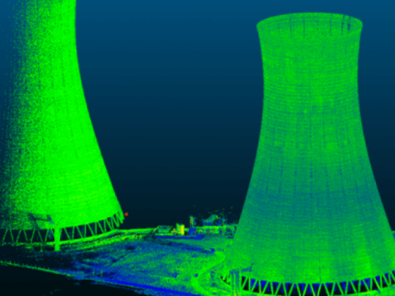
read moreCooling tower of a thermal power plant In order to inspect two cooling towers located on the East Coast of the United States, Can-Explore deployed a 2-day team to perform…
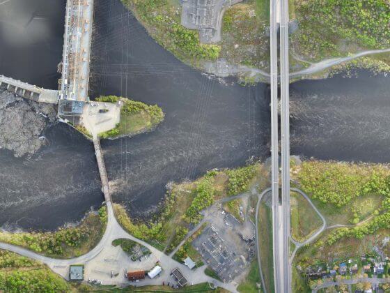
read morePhotogrammetry surveys of the Saguenay river shoreline for the city of Alma During a six-day survey, Can-Explore logged over 20 hours of flight time and travelled 436 linear kilometres to…
read more


