

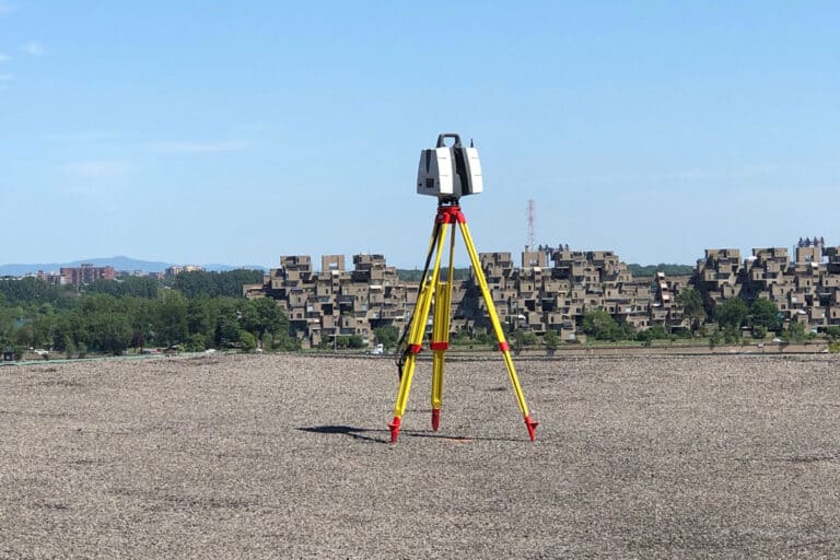
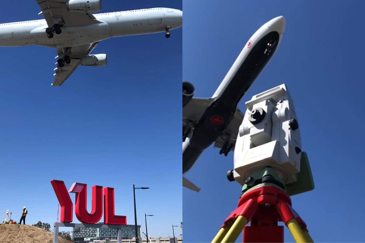
Construction surveying involves a set of techniques and measurements performed by a surveyor primarily to determine and mark the boundaries and features of a site, and to accurately position the planned construction elements on the site. It ensures precision in the work, controls costs, and ensures the quality and compliance of the constructions.
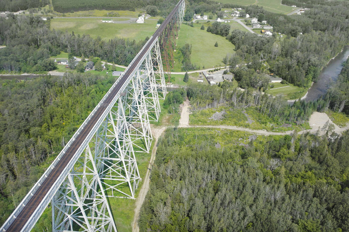
Can-Explore offers construction surveying services designed to meet the complex challenges and stringent requirements of the transportation and energy sectors. Whether for roadway or railway corridor projects, or for the deployment of energy infrastructures, our experts ensure impeccable accuracy at every stage of construction.
Our surveying services for the transport and energy sector:
Staking out structures
Precise positioning for foundations and structures.
Formwork and concreting
Technical assistance for formwork and concrete pouring, ensuring optimal execution.
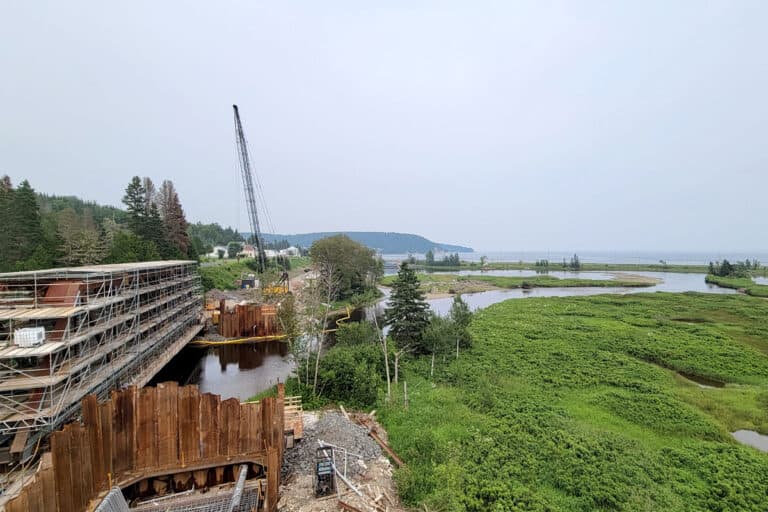
Construction site supervision
Our periodic surveys enable tracking of site progress, anticipating necessary adjustments, and ensuring compliance with specifications. For more information, please visit our construction site supervision page.
As-built plans
Updating plans according to actual conditions for accurate documentation of infrastructure.


Quantity/volume calculations
We ensure thorough tracking and precise validation of dimensions and quantities for payment works, allowing for reliable estimates, resource optimization, and minimization of overages and unforeseen issues for more effective cost management.
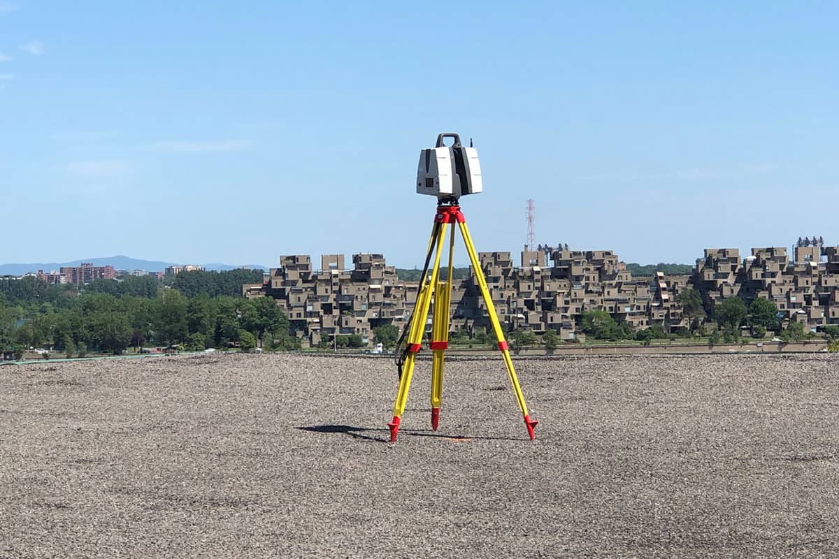
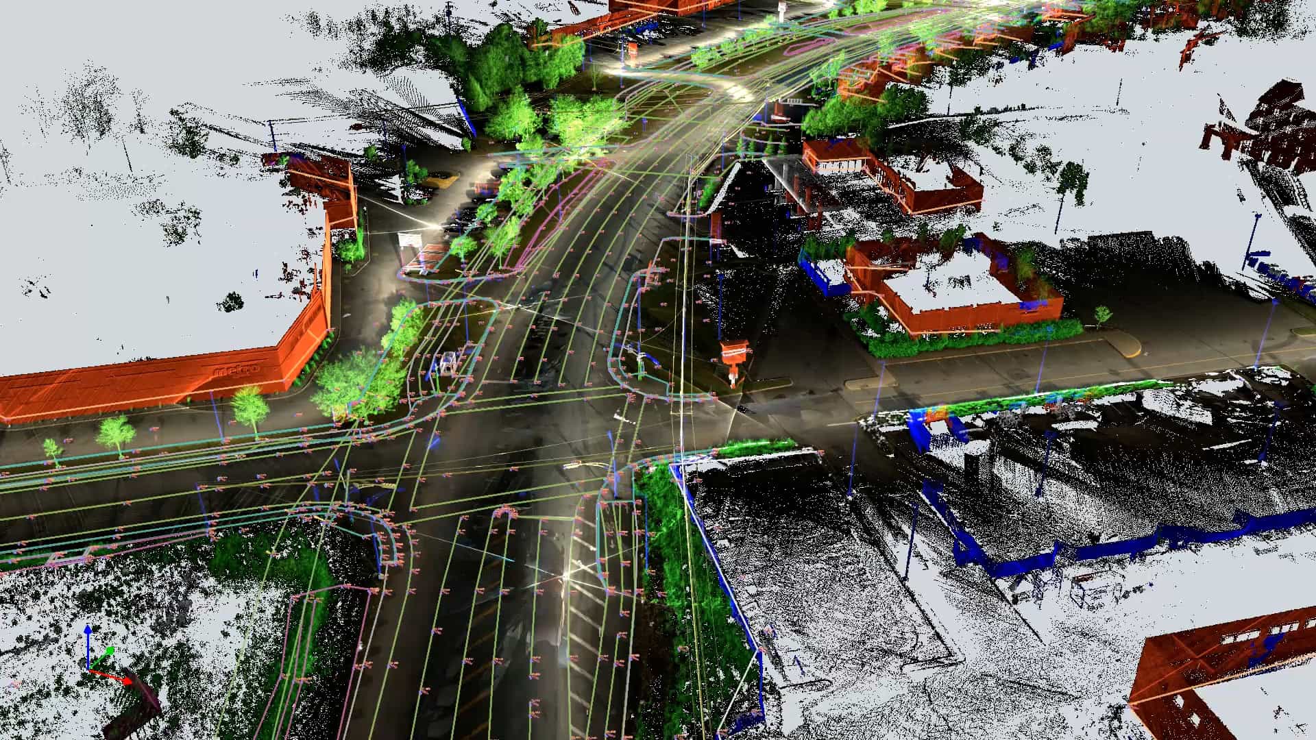
3D Scanning/Photogrammetry
Detailed site representation for simplified management and planning. For more details on this service, visit our page on 3D scanning, photogrammetry, or mobile mapping.
Excavation work – Cut and fill
Determination of foundation levels by grading the terrain with a grid of elevation points, ensuring a flat surface ready for construction.
Floor flatness and levelness (FFFL)
Surface levelness control to ensure compliance with tolerance standards, essential for infrastructures requiring optimal flatness.
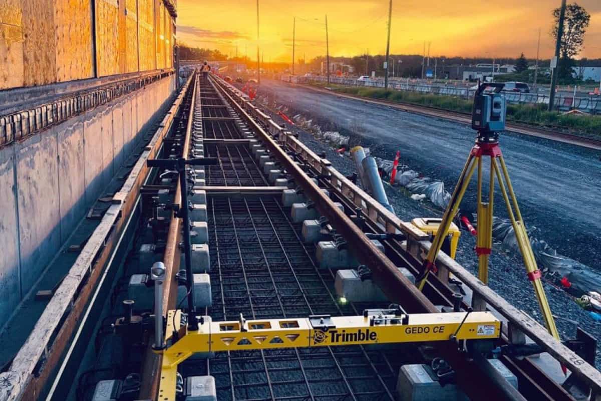
As-built Plans
The “as-built” plan is a document representing the final state of a project after completion. It differs from the initial plans by reflecting modifications and adjustments made during construction.
In the transportation and energy sectors, where every project involves significant investments and critical challenges, Can-Explore leverages the most advanced geomatics technologies to produce as-built plans that meet the highest industry standards. These tools allow us to map even the most complex large-scale infrastructure quickly and accurately, ensuring compliance and long-term durability. Our expertise provides clients and partners with a solid foundation to tackle the challenges of major projects.
Request a Quote – Construction Surveying
Have a question? A specific project?
Feel free to contact us. Our solutions are tailored to your needs.