

From the implementation of projected works to the creation of “as-built” plans, Can-Explore offers personalized legal surveying services for the construction sector. With our expertise and state-of-the-art equipment, we guarantee precise surveys that comply with the regulatory standards set by the order of land surveyors and are tailored to the unique challenges of the construction sector.
We provide innovative techniques that meet the requirements of all types of construction projects, helping you avoid costly inaccuracies and deliver your projects on schedule.
Legal surveying for your sector:
Services for the construction sector
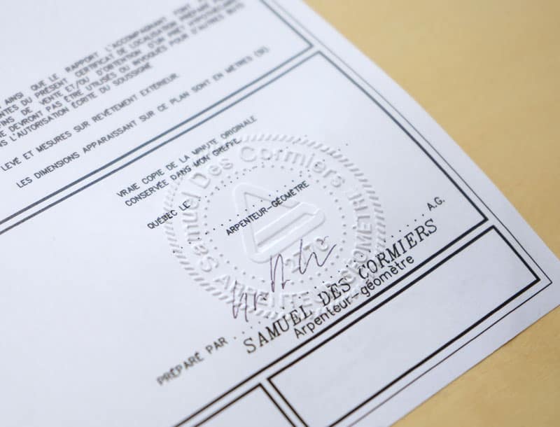
Location certificate
A location certificate confirms the exact boundaries of your property and the positioning of existing structures. It is particularly useful for securing construction permits or meeting notarial requirements during real estate transactions.
Implementation certificate
Whether you are constructing a building, a road, or a complex structure, our experts establish precise implementation plans and provide a certificate ensuring that your construction projects comply with current urban planning standards.
Cadastral operation and subdivision
We ensure the update or creation of cadastral plans for your construction projects, as well as division into distinct parcels within the framework of subdivision.
3D reality capture/3D scanning
Using our cutting-edge reality capture equipment, we perform 3D scanning of buildings, rooms, facades, infrastructures—whether they are vertical above ground or linear underground. These scans play a crucial role in planning and strategic decision-making, in collaboration with the professionals involved in your projects.
Topographical and leveling plan
We conduct detailed topographical surveys to plan and prepare construction sites. This includes leveling for the installation of foundations, road infrastructures, and drainage systems.
Ground movement monitoring
For large-scale construction projects, we monitor ground movements to identify potential instabilities, ensuring the safety of your foundations and nearby infrastructures.
Stakeout certificate
We ensure the staking of property boundaries and infrastructures to be constructed, allowing you to comply with approved plans and avoid any conflicts related to the location of structures.
Legal boundary determination
An official process to definitively set the boundaries of a property or land when they are contested or uncertain. This procedure is governed by the Civil Code of Quebec and is carried out under the authority of a land surveyor.
Technical description
A detailed report and plan precisely outlining the boundaries of land parcels, tailored to your complex projects requiring precise geometric and land information.
Territorial planning
Our experts assist you in planning and organizing spaces for your projects, including the study of easements, the implementation of support infrastructures, and compliance with local regulations.
Certification of rental spaces
If your projects involve shared areas, we help ensure the spaces meet rental or co-ownership agreements, thereby minimizing litigation risks.
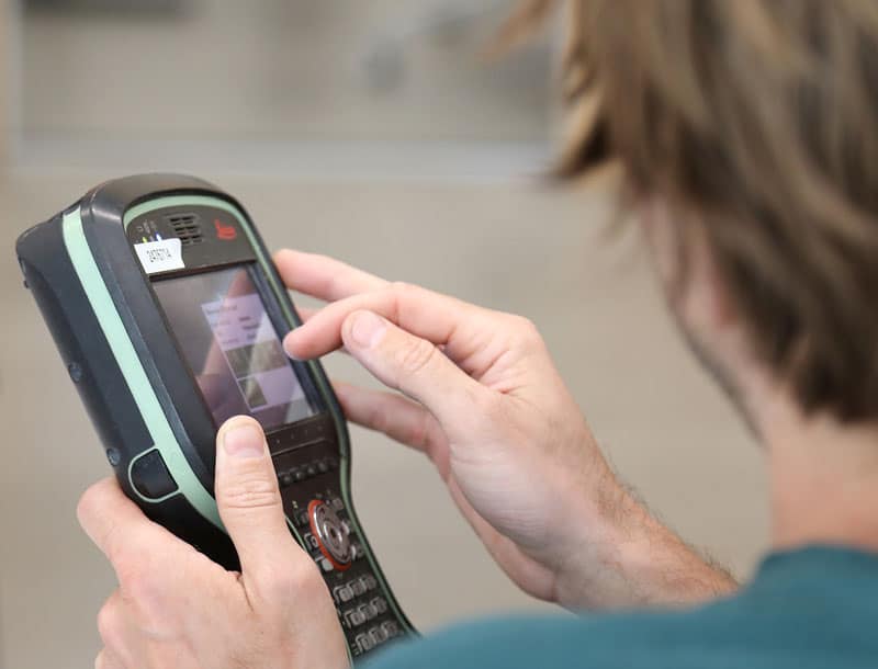
State-of-the-art tools
Land surveyors master a wide range of technological tools, enabling them to achieve greater speed, precision, and efficiency:
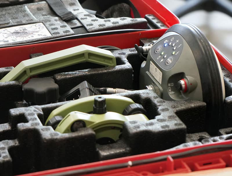
- Global Navigation Satellite Systems (GNSS), which can determine positions anywhere on the earth’s surface.
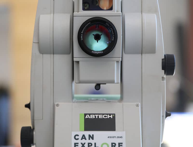
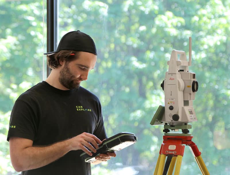
- Total stations, which measure both angles and distances.
- LiDAR-type laser scanners, which take billions of measurements over a study area and project them in a 3-D environment.
- Drones that provide high-resolution aerial imagery.
When might you need a land surveyor?
You are planning the construction of a residential or commercial building
A location certificate will allow you to confirm property boundaries and the placement of existing structures, ensuring error-free planning that complies with regulatory requirements.
Obtaining building permits
A location plan is often required to obtain a building permit, demonstrating that the work complies with municipal standards, including minimum setbacks, zoning restrictions, or maximum authorized height.
You are building in a dense urban area
To avoid potential conflicts with neighbors, a stakeout certificate will clearly delineate your property to adhere to approved plans and prevent any disputes.
Projects involving easements or land constraints
You are developing a residential or commercial complex and need a cadastral plan or technical description to manage easements, divide land, or plan access.
You are preparing a complex project
You are preparing a complex project, such as a skyscraper or underground parking, and want to use 3D scans or 3D mapping to accurately visualize spaces and optimize planning.
Works near other buildings or in sensitive areas
Monitoring ground movements allows you to identify any shifts or instabilities affecting your infrastructure or those around you.
Our specialized surveying tools
WingtraOne GEN II by Wingtra
The WingtraOne GEN II is a cutting-edge, intelligent mapping drone that offers unparalleled performance for surveying large sites (photogrammetry). This drone maximizes coverage in a single flight, covering up to 460 hectares in one hour, optimizing surveying operations by minimizing labor hours. With its VTOL (vertical takeoff and landing) design, it excels particularly on vegetation-free terrain. The WingtraOne GEN II is equipped with a 61 MP camera, ensuring the highest quality images with an absolute horizontal accuracy of less than one centimeter. Its advanced GNSS PPK technology ultimately eliminates the need for ground control points, further reducing on-site preparation time.
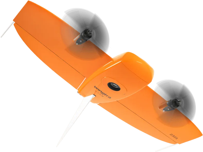
Image courtesy of Wingtra.
Pegasus TRK 700 Neo by Leica
The Pegasus TRK 700 Neo by Leica is a cutting-edge mobile mapping tool capable of capturing over one million LiDAR scans per second. Equipped with artificial intelligence, it is the ideal tool for quickly surveying long road segments. By integrating SLAM (Simultaneous Localization and Mapping) and RTK (Real Time Kinematics) positioning precision, this device references geospatial data with centimeter-level accuracy. Its integrated ISOFIX cameras capture ultra-high-resolution images, enabling detailed 3D visualization of point clouds collected by its LiDAR scanner.
Image courtesy of Leica Geosystems.
NavVis MLX by NavVis
The NavVis MLX revolutionizes 3D reality capture with its advanced handheld technology. Its compact and ergonomic design provides unlimited mobility for surveyors, making it perfect for scanning confined, complex, and hard-to-reach spaces. Featuring a 32-layer LiDAR sensor paired with SLAM (Simultaneous Localization and Mapping) software, this system ensures the highest point cloud quality among comparable tools. Additionally, its four integrated cameras capture high-resolution 360º images, enabling exceptional 3D visualization of the collected data.
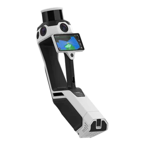
Image courtesy of NavVis.
Request a quote: Land surveyor services
Any questions?
Don’t hesitate to contact us. Our solutions are tailored to your needs.