

Can-Explore offers a range of legal surveying services specifically designed to meet the complex requirements of industrial and mining projects. Our services help businesses in these sectors ensure regulatory compliance, optimize field operations, and minimize the risk of disputes. Whether for factory construction, mining operations, or managing large infrastructure, our tailored services provide accurate surveys for planning and executing projects.
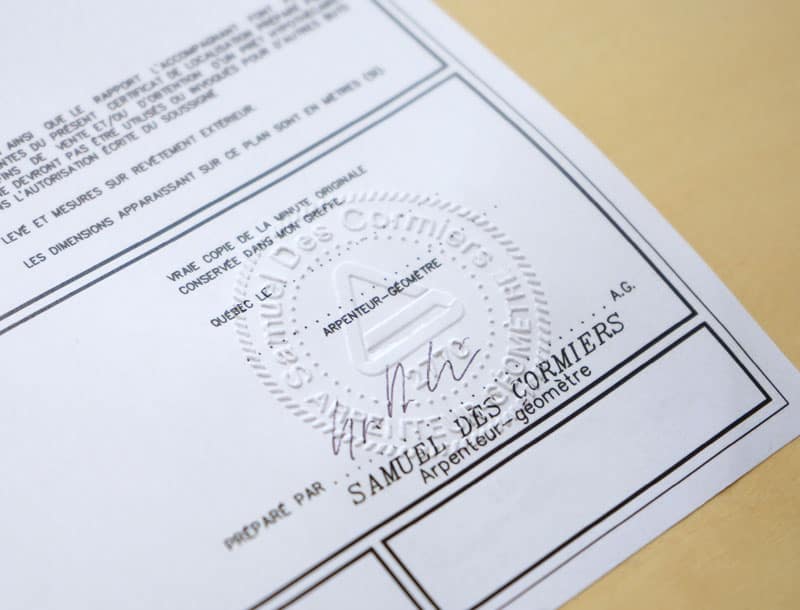
Legal surveying operations must be carried out by a land surveyor and are defined in Section 34 of the Land Surveyors Act.
Legal surveying for your industry:
Services offered by land surveyors
Stakeout Certificate
An official document issued before construction by a land surveyor, certifying the precise location of a structure on land in relation to property boundaries and applicable zoning regulations. This service is essential for the accurate placement of large industrial or mining facilities, ensuring that the project is positioned according to the approved plans and regulatory requirements.
Survey Plan Certificate (Layout Plan and Layout Certificate)
We issue survey plan certificates to confirm the exact positions of infrastructure and buildings, with a particular emphasis on verifying property boundaries and land features before construction begins. The certificate ensures your project meets legal and regulatory standards, providing a clear layout for large industrial and mining facilities.
Certificate of Location
We issue survey plan certificates to confirm the exact positions of infrastructure and buildings. The certificate of location ensures that the infrastructure is positioned correctly according to approved plans. It is particularly beneficial for large industrial or mining projects to ensure compliance and avoid conflicts or legal issues during construction.
Mobile Mapping and 3D Reality Capture
Utilizing state-of-the-art tools, we offer advanced reality capture solutions tailored for digitizing large-scale industrial and mining infrastructures. These services enable effective management of field data and ensure precise infrastructure placement, while minimizing risks associated with human error.
Topographic Survey and Leveling
We conduct in-depth studies of land characteristics, including leveling required for the installation of large industrial or mining infrastructure. These studies prepare the land for the installation of heavy machinery and the construction of buildings or other structures. Leveling impacts heavy machinery and mining equipment placement.
Cadastral Operation and Subdivision
We offer cadastral operation and subdivision services for industrial and mining projects that require defining or dividing land boundaries for development. These services involve the precise measurement, mapping, and legal documentation of land boundaries and divisions, ensuring compliance with zoning laws and property rights. Whether you’re managing large plots for new developments or reconfiguring land for mining operations, our expert surveyors ensure that all legal requirements are met before any work begins.
Technical Description
Technical descriptions are essential for compliance with industry standards and regulatory requirements, and they help guide the project’s implementation from start to finish. This service includes the creation of in-depth technical reports that outline the characteristics, specifications, and parameters of your project, ensuring that all aspects of the design and construction are clearly defined.
Certificate of Implementation
The certificate of implementation is issued after construction, confirming that the infrastructure has been correctly implemented according to the approved plans and within the specified boundaries. This certificate ensures that the project complies with zoning laws, property boundaries, and regulatory standards, facilitating the transition into operation and ensuring legal and regulatory compliance.
Spatial Planning (Land Development)
We assist in the planning and management of spaces for industrial and mining operations, ensuring the optimal use of land. This includes analyzing easements, developing storage areas, and planning support infrastructure, all while ensuring compliance with safety and environmental regulations.
Leasing Space Certification (Rental Space Certificate)
For projects involving shared or co-owned land, we provide leasing space certification services to confirm that your use of the land is in compliance with lease or co-ownership agreements.
Services State-of-the-art tools
Land surveyors master a wide range of technological tools, enabling them to achieve greater speed, precision, and efficiency:
- Global Navigation Satellite Systems (GNSS), which can determine positions anywhere on the earth’s surface.
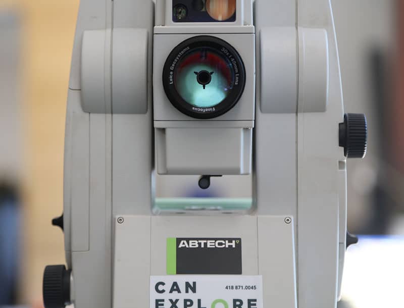
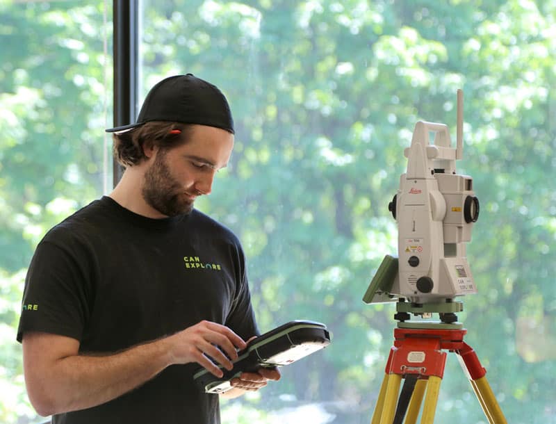
- Total stations, which measure both angles and distances.
- LiDAR-type laser scanners, which take billions of measurements over a study area and project them in a 3-D environment.
- Drones that provide high-resolution aerial imagery.

When Might You Need a Land Surveyor?
You are preparing an industrial or mining development project involving complex infrastructure
Whether for the installation of a factory, opening a mine, setting up industrial machinery, water tanks, or large-scale industrial site development, we provide stakeout certificates, detailed topographic surveys, and leveling studies to ensure optimal, precise, and compliant placement of your infrastructure.
You operate a quarry or mine and need to define your extraction site boundaries
We conduct cadastral surveys to establish clear boundaries and legally compliant plans, ensuring safe and regulatory-compliant operations.
You are evaluating easements and right-of-way requirements for site operations
We assist in defining and managing land easements and rights-of-way, essential for the installation of access roads or drainage systems.
You need to ensure regulatory compliance for your site before obtaining operating permits
We provide survey certificates and detailed geospatial surveys to support your regulatory processes and expedite the approval of necessary permits.
You are managing environmental risks and need to analyze site safety
We offer land analysis and soil stability studies to assess environmental risks and ensure site compliance with current standards.
Our Specialized Surveying Tools
WingtraOne GEN II by Wingtra
The WingtraOne GEN II is a cutting-edge, intelligent mapping drone that offers unparalleled performance for surveying large sites (photogrammetry). This drone maximizes coverage in a single flight, covering up to 460 hectares in one hour, optimizing surveying operations by minimizing labor hours. With its VTOL (vertical takeoff and landing) design, it excels particularly on vegetation-free terrain. The WingtraOne GEN II is equipped with a 61 MP camera, ensuring the highest quality images with an absolute horizontal accuracy of less than one centimeter. Its advanced GNSS PPK technology ultimately eliminates the need for ground control points, further reducing on-site preparation time.
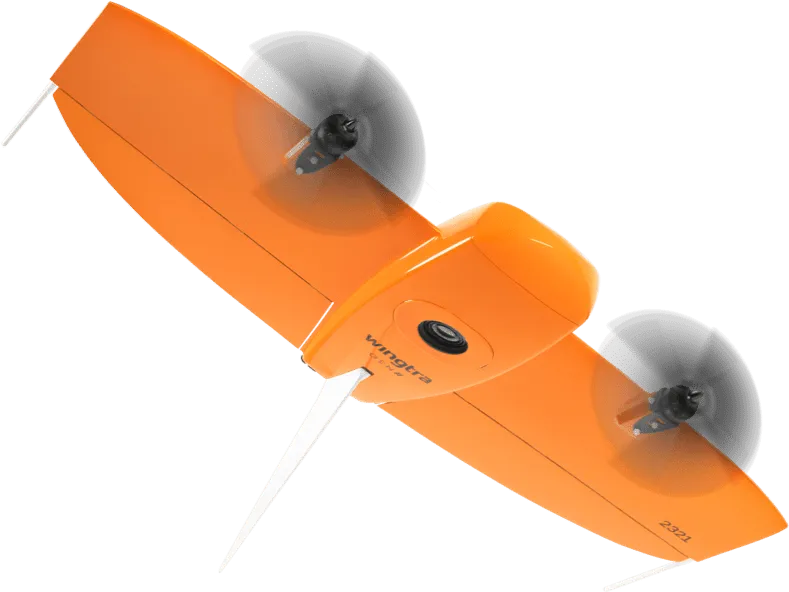
Image courtesy of Wingtra.
Pegasus TRK 700 Neo by Leica
The Pegasus TRK 700 Neo by Leica is a cutting-edge mobile mapping tool capable of capturing over one million LiDAR scans per second. Equipped with artificial intelligence, it is the ideal tool for quickly surveying long road segments. By integrating SLAM (Simultaneous Localization and Mapping) and RTK (Real Time Kinematics) positioning precision, this device references geospatial data with centimeter-level accuracy. Its integrated ISOFIX cameras capture ultra-high-resolution images, enabling detailed 3D visualization of point clouds collected by its LiDAR scanner.
Image courtesy of Leica Geosystems.
NavVis MLX by NavVis
The NavVis MLX revolutionizes 3D reality capture with its advanced handheld technology. Its compact and ergonomic design provides unlimited mobility for surveyors, making it perfect for scanning confined, complex, and hard-to-reach spaces. Featuring a 32-layer LiDAR sensor paired with SLAM (Simultaneous Localization and Mapping) software, this system ensures the highest point cloud quality among comparable tools. Additionally, its four integrated cameras capture high-resolution 360º images, enabling exceptional 3D visualization of the collected data.
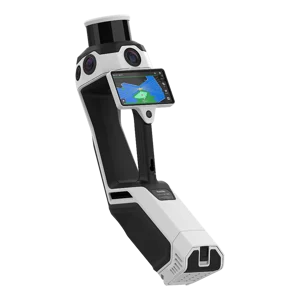
Image courtesy of NavVis.
Request a quote: Land surveyor services
Any questions?
Don’t hesitate to contact us. Our solutions are tailored to your needs.